 Academia
 Ai
Ai
 Astronomy
 Biology
 Chemistry
 Climate
 Conspiracy
 Earth-science
 Engineering
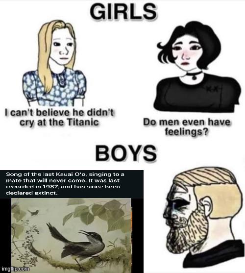
 Evolution
 Geology
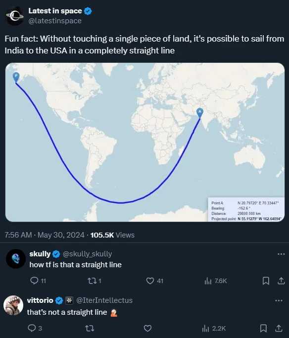
The meme beautifully captures the collision between map projections and spatial reasoning! The original tweet claims you can sail from India to the USA in a "straight line" without touching land, showing a curved path on a flat map. But here's the mind-bender: that curved line is actually geodesically straight in 3D space!
When sailing across a spherical Earth, the shortest path (a "straight line" in navigation terms) follows what's called a great circle. On flat Mercator projections, these great circles appear curved because... well, you're squishing a sphere onto a rectangle!
The commenters missing this concept is pure comedy gold. It's like watching someone argue that the Earth is flat while standing on a globe!