Cartography Memes

Posts tagged with Cartography

Why Would They Use More Than 4 Colors? 🤔

Why Would They Use More Than 4 Colors? 🤔
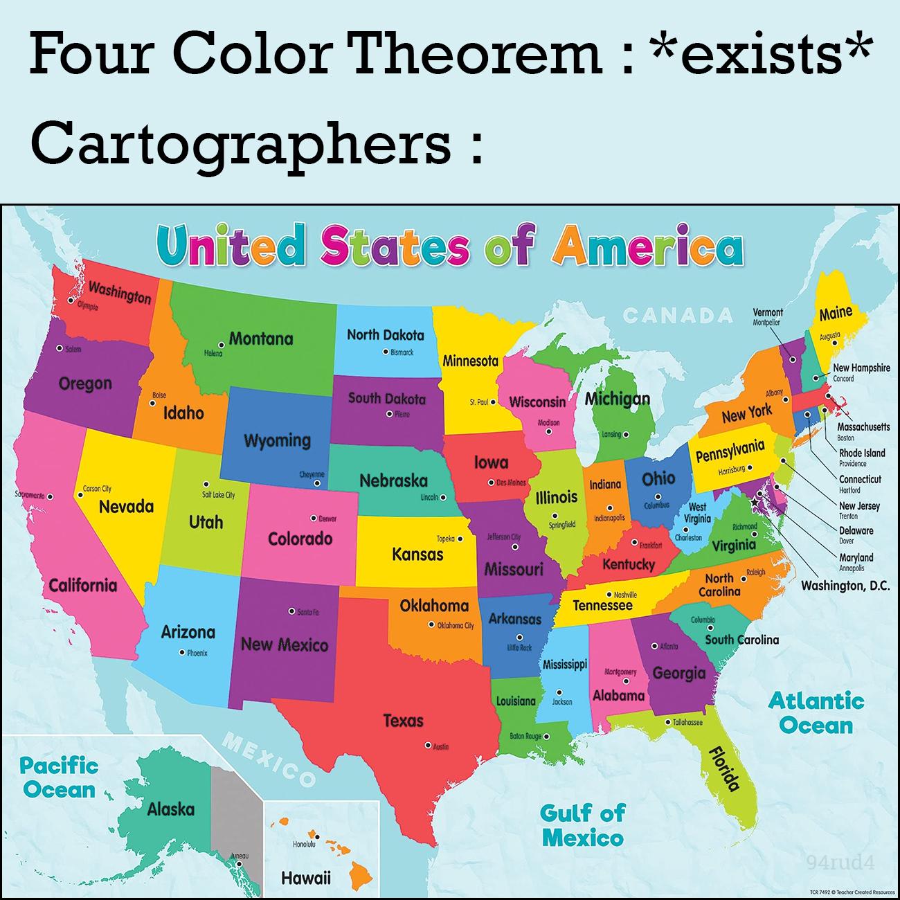
Mathematicians: "We've proven you only need 4 colors to create a map where no adjacent regions share the same color." Map makers: "Hold my rainbow." The Four Color Theorem is one of those elegant mathematical proofs that took 124 years to solve, only for cartographers to completely ignore it in favor of making maps look like a unicorn threw up on them. Sure, you could make do with just 4 colors, but where's the fun in mathematical efficiency when you can assault everyone's eyes with 17 shades of neon?

A Rare W For Differential Geometry

A Rare W For Differential Geometry
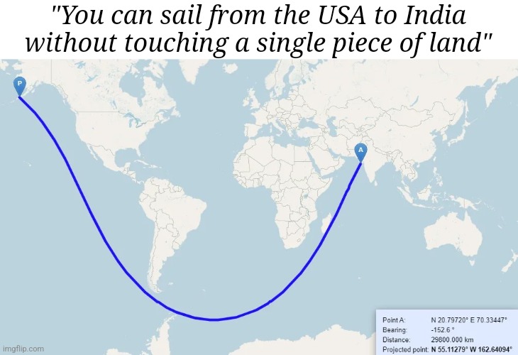
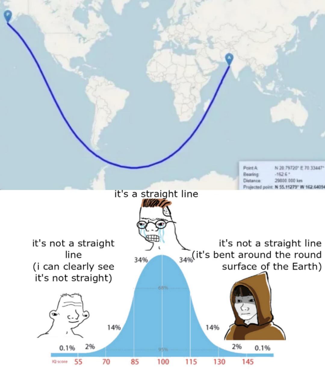
This meme brilliantly showcases the mind-bending reality of geodesics on a curved surface! The straight-looking blue line between the USA and India isn't actually straight at all—it's a geodesic curve following the shortest path on our spherical Earth. Differential geometry FTW! While flat maps make it look like you'd sail through South America and Africa to get from the USA to India, the actual shortest path dips way south near Antarctica. It's the same reason airplane routes look weird on flat maps. Your brain wants a straight line, but Earth's curvature says "not today, navigator!" Mathematicians are sitting in the corner smugly nodding while everyone else questions their entire understanding of navigation.

Map Makers Everywhere Rejoice

Map Makers Everywhere Rejoice
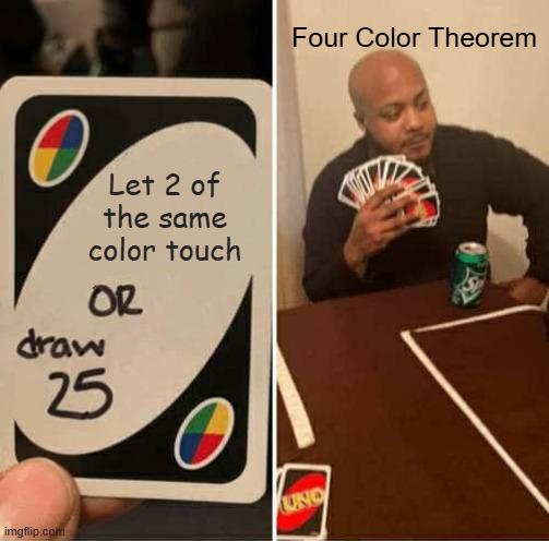
The Four Color Theorem is that mathematical nightmare proving you only need four colors to make any map where no adjacent regions share colors. Meanwhile, UNO players are sweating bullets when two identical colors touch, forcing them to draw 25 cards as punishment. Cartographers spent 124 years proving this theorem (1852-1976), only for UNO to create more anxiety with a single card. Next time someone complains about their geography homework, remind them it could be worse—they could be playing UNO with a mathematician.

The Most Geographically Accurate Worm

The Most Geographically Accurate Worm
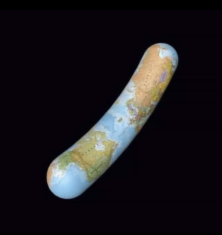
Someone took the term "earthworm" way too literally! This brilliant visual pun combines cartography and biology by wrapping a world map onto a worm-shaped object. It's the most geographically accurate annelid you'll ever see—complete with continental drift but minus the 5 hearts and ability to regenerate after being cut in half. If Charles Darwin studied this specimen, he'd have written "On the Origin of Pun-species" instead!

The Infinite Coastline Paradox

The Infinite Coastline Paradox
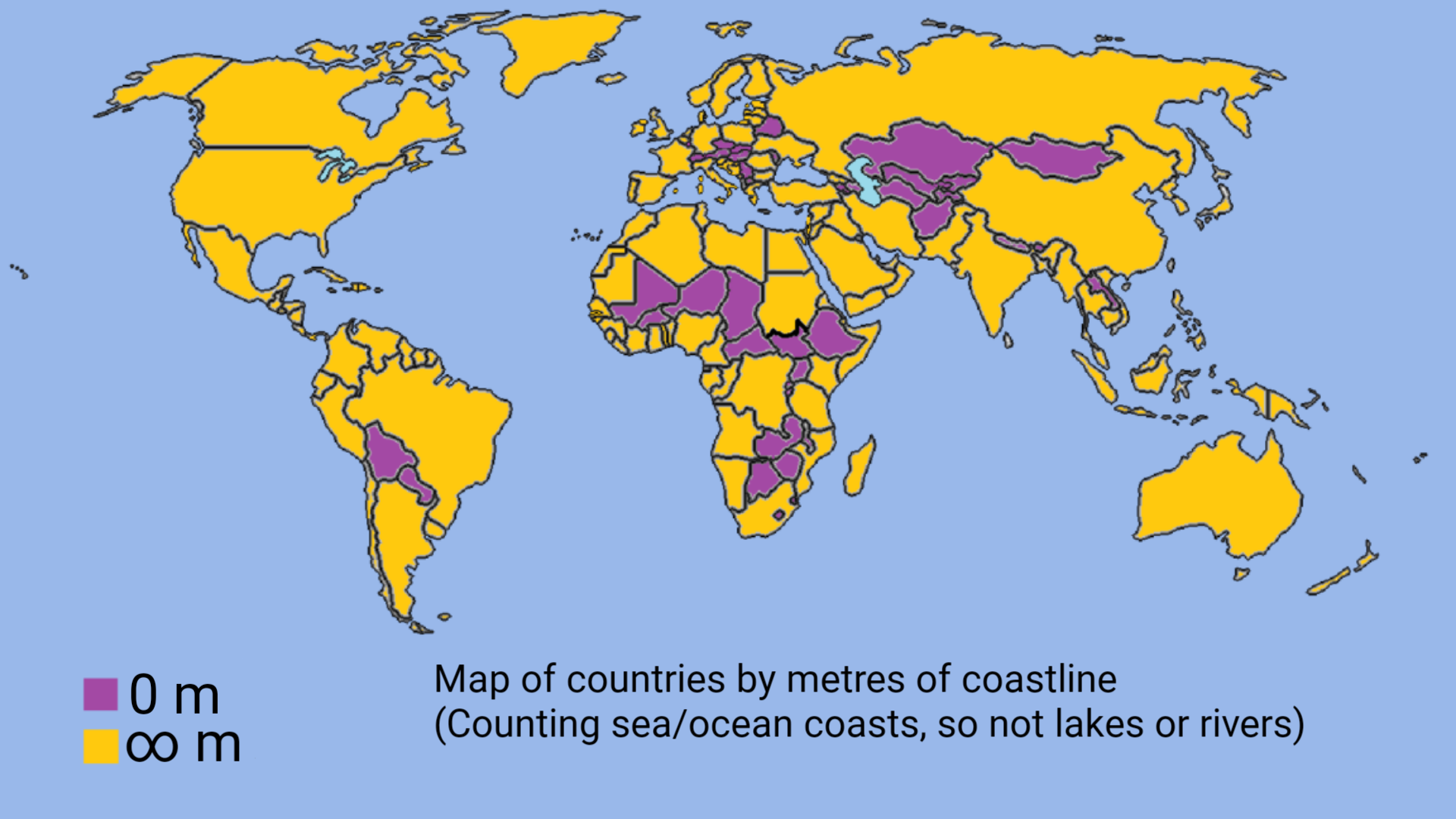
Behold the mathematical trickery of coastlines! Purple countries have exactly ZERO meters of coastline (landlocked nations), while yellow countries have INFINITY meters! This isn't a geography error—it's the mind-bending Coastline Paradox in action! Measure a coastline with a 1-kilometer ruler, you get one number. Use a 1-meter ruler that catches all the tiny inlets? The measurement explodes! Go microscopic and it approaches infinity because coastlines are essentially fractal in nature! Mother Nature: "You want to measure me? Good luck with that, puny humans!" *maniacal scientist cackle*

Four Colors Are Indeed Enough

Four Colors Are Indeed Enough
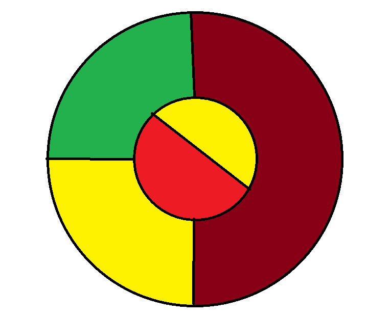
Someone's trying to disprove the 4-Color Theorem with this diagram, but they've played themselves! The theorem states that any map can be colored using just 4 colors without adjacent regions sharing colors. This diagram uses 4 colors (red, yellow, green, burgundy) but creates a false "gotcha" by making regions touch at the inner circle. Classic mathematical trolling! The theorem actually accounts for this - regions that only meet at a point (not along a border) can share colors. It's like watching someone try to checkmate mathematics with a pawn.

The Great Cartography Debate

The Great Cartography Debate
The perfect illustration of the Dunning-Kruger effect in cartography! That curved blue line represents the shortest path between two points on a globe (a geodesic), but mapping it onto a flat projection creates this apparent curve. The bell curve shows three perspectives: the confident-but-wrong crowd ("it's straight!"), the technically correct experts ("it's bent around Earth's curvature"), and my personal favorite—the person who just uses their eyeballs ("I can clearly see it's not straight"). What makes this extra hilarious is that the 20,000,000 km distance shown would actually be about 50 times Earth's circumference—so nobody's right! The ultimate cartographic mic drop for anyone who's ever argued about the "best" map projection.

When Your "Straight Line" Depends On Dimension

When Your "Straight Line" Depends On Dimension
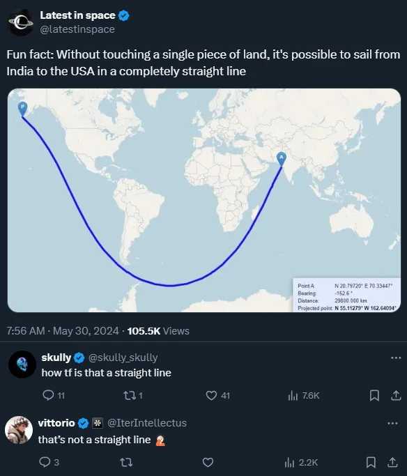
The meme beautifully captures the collision between map projections and spatial reasoning! The original tweet claims you can sail from India to the USA in a "straight line" without touching land, showing a curved path on a flat map. But here's the mind-bender: that curved line is actually geodesically straight in 3D space! When sailing across a spherical Earth, the shortest path (a "straight line" in navigation terms) follows what's called a great circle. On flat Mercator projections, these great circles appear curved because... well, you're squishing a sphere onto a rectangle! The commenters missing this concept is pure comedy gold. It's like watching someone argue that the Earth is flat while standing on a globe!